Official Radar
Map Theme
Light DarkCurrent SPC Outlook
Show HideNEW Hurricane Tracks
Show HideShow Current Location
Display location
verified_user
Your location is never saved, sent, or sold.
Show YouTube Embed Player
Show Hideinfo
YouTube Embed Player is not available in small windows and on mobile. How to use the player
Radar Type
Radar Infrared SatelliteRadar Time
Past Past + FutureSnow Colors
Treat as snow Treat as rainRadar Smoothing
Smooth RoughRadar Opacity
Radar Color Scheme
Alert Fill Opacity
Warnings to Show
RED: Tornado Warning
YELLLOW: Severe T-storm Warning
MAGENTA: Flood Warning
GREEN: Flash Flood Warning
BLUE: Special Weather Statement
ORANGE: Other
Watches to Show
RED: Tornado Watch
BLUE: Severe T-storm Watch
Reports to Show
RED: Tornado Reports
BLUE: Wind Reports
GREEN: Hail Reports
RED: Tornado Warning
YELLLOW: Severe Thunderstorm Warning
MAGENTA: Flood Warning
GREEN: Flash Flood Warning
BLUE: Special Weather Statement
ORANGE: Other
Built for The Weather Team by BusyBird15 (contact me).
Version number: v1.12
Radar Tiles: RainViewer
Warnings: NOAA's API
Watches: the IEM WW Archive
SPC Outlooks: SPC GeoJSON data
Some ideas: the XWD's radar

Official Radar
Radar Tips
Left Click to pan the map, or click a watch/warning box to view its details.
Right Click to view the current weather conditions for the place you clicked.
Click the settings icon in the toolbar to customize polygon opacities, toggle alerts, and more.
Click the map icon in the lower left to change between dark and light themes.
Severe Thunderstorm Tags
The criteria for a baseline or “base” severe thunderstorm warning is 1.00 inch (quarter-sized) hail and/or 58 mph thunderstorm winds. This will not activate a WEA on smartphones. When no damage threat tag is present, damage is expected to be at the base level.
The criteria for a considerable damage threat is at least 1.75 inch diameter (golf ball-sized) hail and/or 70 mph thunderstorm winds. This will not activate a WEA on smartphones.
The criteria for a destructive damage threat is at least 2.75 inch diameter (baseball-sized) hail and/or 80 mph thunderstorm winds. Warnings with this tag will automatically activate a (WEA) on smartphones within the warned area.
Credit: NOAAHow to use the YouTube embed player
1. Pull up a livestream (or video) on YouTube in a new tab.
2. Under the video click "Share" > "Embed". Then copy the code or click "Copy".
3. Paste the code into the text box in the embed player and click the play button. If the player isn't shown, enable it in Settings > Map. You can't use the player on small screens and mobile devices.
You can also resize the player by clicking and dragging the top-right corner.
Severe Weather Center
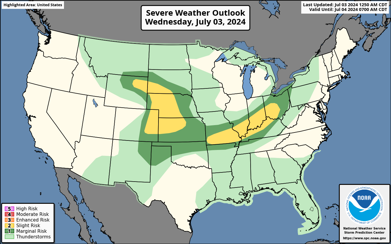
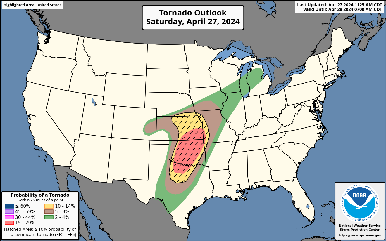
Outlooks
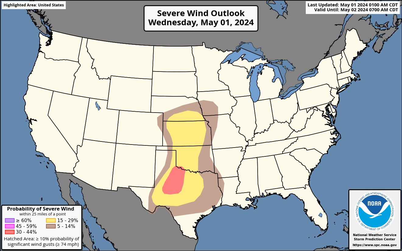
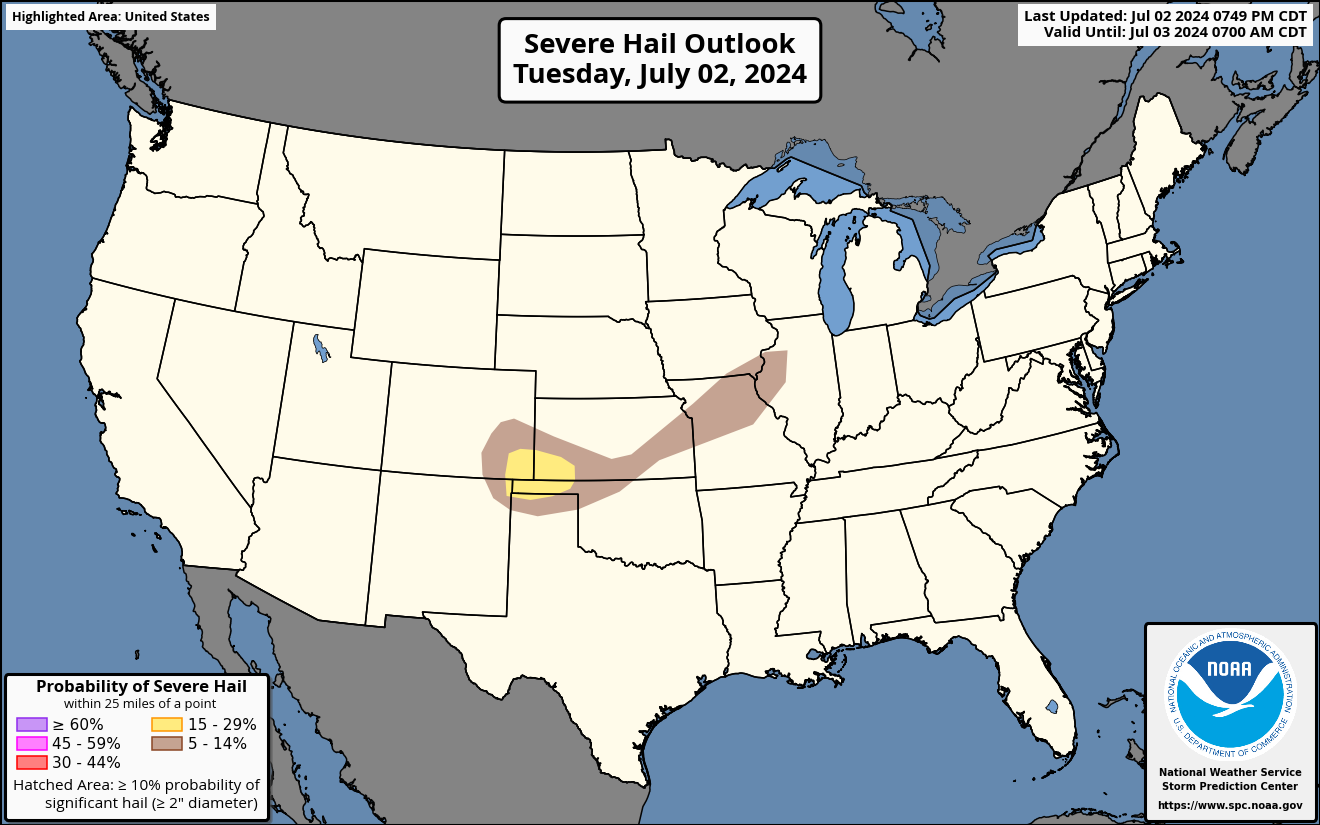
Watch Map

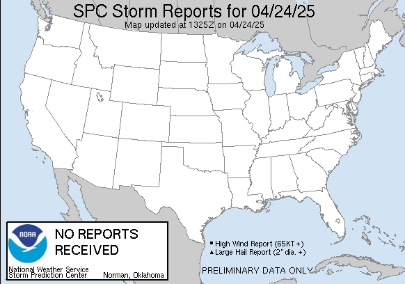
Storm Report Map
